

Know what is buried before you dig. Our Proceq GS8000 ground penetrating radar maps power cables, water and sewer lines, telecom ducts, gas pipes, tanks and voids at up to 10 m depending on soil conditions — marked on site and issued as a survey report before excavation begins.
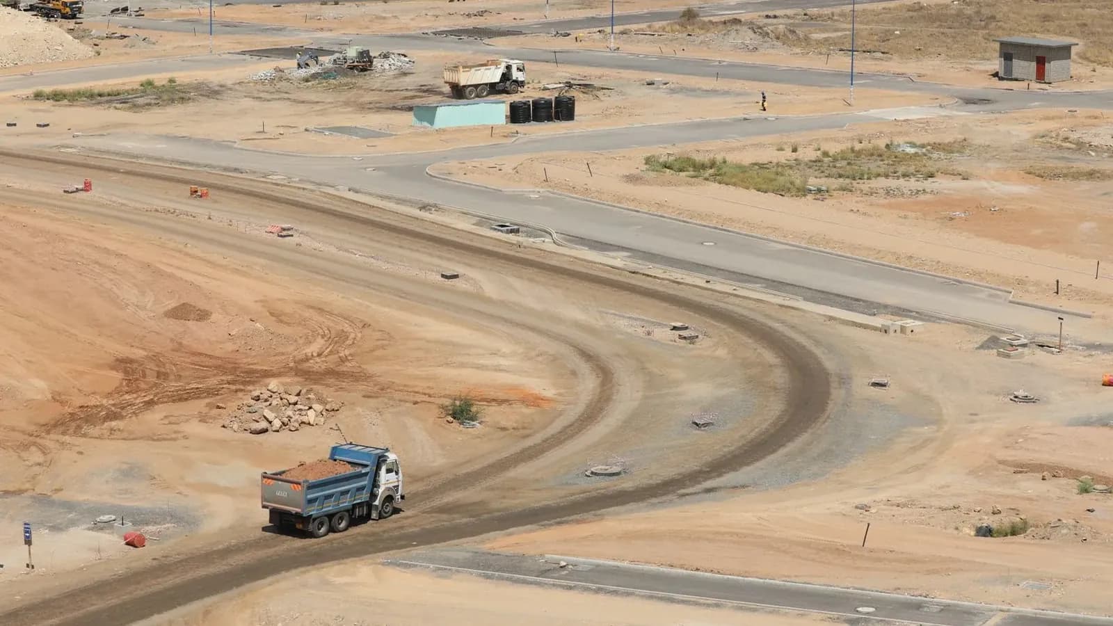
Underground utility scanning is a ground survey carried out before excavation to find out what is buried beneath a site. Using the Proceq GS8000 ground penetrating radar, we push a survey cart over the area in a grid pattern, reading reflections from buried objects and building a map of the services below. Working depth is typically 5–10 m and depends on the soil: dry sand allows deeper penetration, while wet ground, heavy clay and saturated fill reduce it. Findings are marked directly on the surface and issued as a report, so the excavation crew works from a map instead of a guess. This is a different instrument and a different job from concrete scanning — the GP8000 images the inside of concrete, the GS8000 images the ground.
We define the survey area and set a scanning grid so the whole footprint is covered with no gaps. Access, surface condition and any known services are noted before we start.
The GS8000 cart is run over the grid, transmitting stepped-frequency radar pulses into the ground and recording reflections from buried utilities, tanks, voids and obstructions in real time.
Detected services are painted onto the ground with estimated depths, and the data is processed into a survey report with a mapped plan you can hand to the excavation crew and the client.
Proceq GS8000
The Proceq GS8000 is a subsurface mapping ground penetrating radar built specifically for utility locating in soil. It uses stepped-frequency continuous wave technology across an ultra-wide 0.2–3.4 GHz bandwidth, balancing penetration depth and object resolution in a single pass, and covers large areas quickly — which makes it suited to roads, yards, compounds and open sites as well as tight trench corridors.
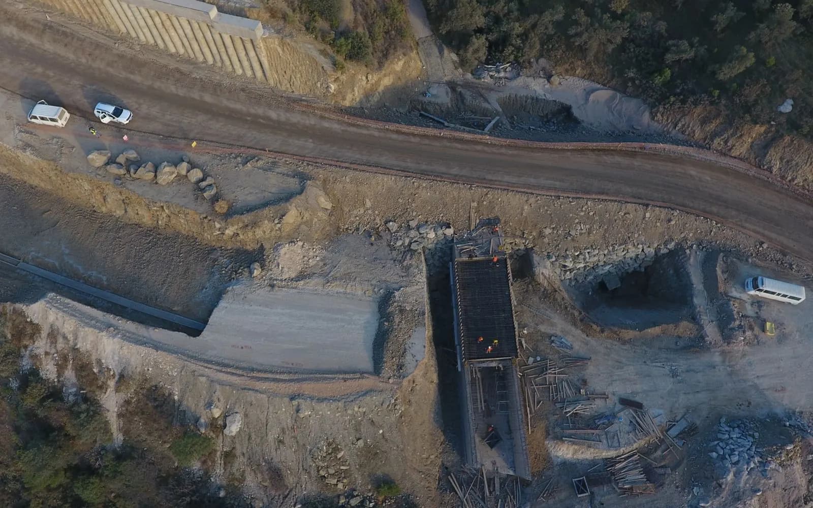
Depth in ground is decided by the soil, not by marketing. Dry desert sand can let the GS8000 read to the full 10 m, while wet or clay-heavy ground can pull it back below 5 m — so we quote 5–10 m as the realistic working range and tell you on site what the conditions allow. Alongside it we run the Proceq GP8000 for concrete, which means the right radar goes to the right job rather than one machine being stretched across both.
Realistic range for UAE ground conditions.
Power, water, sewer, telecom, gas and unknown lines.
Not just utilities — anything that stops a dig.
Findings marked where the crew needs them.
Documented positions and depths for your records.
Roads, yards, compounds and open sites scanned quickly.
We confirm the survey area, the depth of the planned excavation, access arrangements and any existing service drawings. This tells us the grid spacing and time required, and lets us give you a fixed price before mobilising.
Our technician surveys the area with the Proceq GS8000 on a set grid. Scanning is non-destructive and does not disturb the surface, so it can be done on live sites, roads and finished compounds.
Detected services are painted on the ground with estimated depths and routes. Anything uncertain is flagged as a hand-dig zone rather than being presented as a clear result.
We issue a report with a mapped plan of the detected utilities, depth estimates and recommendations on where machine excavation is safe and where hand digging is required.
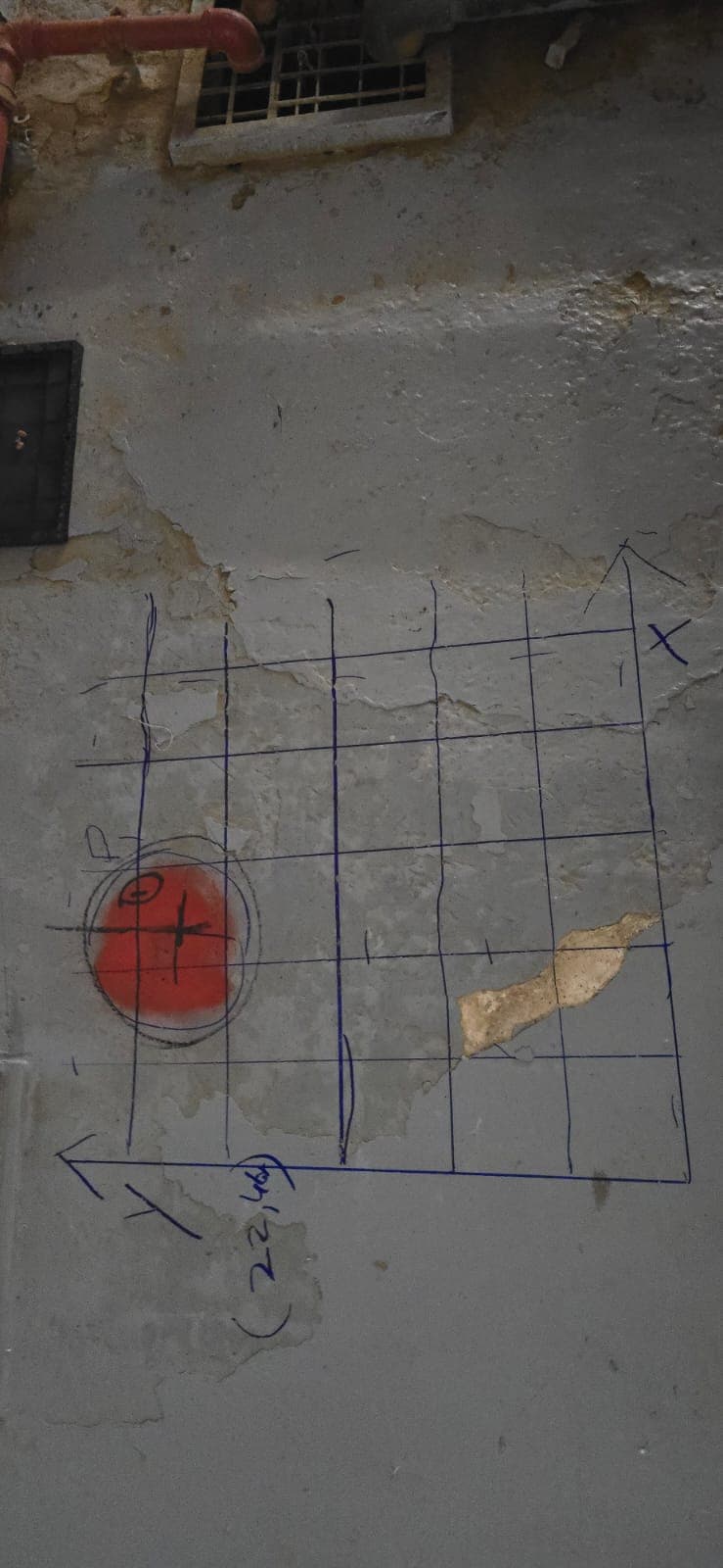
Local pages covering the areas, ground conditions and site requirements specific to each emirate.
Get a free quote for a GS8000 underground utility survey. Send us your site location and dig area and we respond within 1 hour during business hours.
Direct lines
+971 55 692 6286Bhadeyatechnical@gmail.comWe respond within 1 hour during business hours.